


 view page of Neuquén
 share this post
IMPORTANT: Some data, image or video may be from 2020 or before.
Information
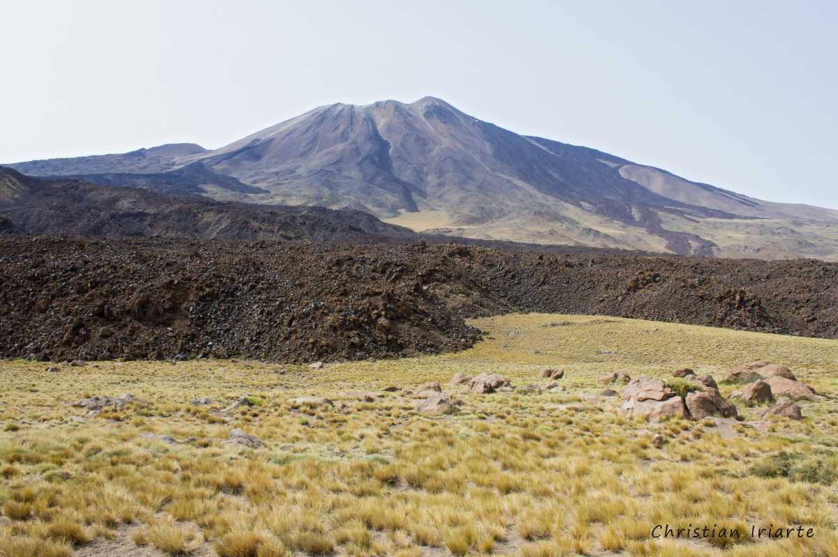
It is a protected area of 30,000 hectares located 32 km from Chos Malal. Within its limits is the Tromen volcano of 4114 m a.s.l. and its laguna (like a lake).To get there from the city of Chos Malal, first take the asphalted National Route 40 for 8.5 km to the north. Then the provincial road 2 opens to the left and you drive along it for 10.5 km of gravel. You reach a fork, where you take provincial route 37 on the right and drive 13 more kilometres of gravel road to the entrance of the park, where there is a sign indicating the beginning of the park.
The best time of the year to go is in summer (November to April), since in winter (June to September) snowfalls make access inaccessible.
From the sign at the beginning of the protected area, always follow Route 37, which is the main road and from where the attractions are accessed:
- The first thing you will see is the Los Barros marshland, which depending on the weather and time of the year may have more or less water. It is an excellent place to observe aquatic birds.
- Further on you reach the laguna and can see the Tromen volcano. From Route 37 there is a dirt road (with some stones) to the right that borders the body of water and can take you closer to the volcano.
- Continuing along route 37, at one point there is an uphill path to the left that leads to the park rangers office and a viewpoint.
- Finally, once you have passed the entire laguna, you reach the volcano's scoria.
From the scoria place, if you follow Route 37 for about 40 km and then take Provincial Route 53 to the right for another 4 km, you will reach National Route 40, 1.5 km from the village of Barrancas. Although this road is precarious and only for four-wheel drive vehicles (it has stretches of loose stones and vegetation on the road), it is another access route to the park.