 view more about Domuyo Natural Protected Area
 view page of Neuquén
 share this post
IMPORTANT: Some data, image or video may be from 2020 or before.
Information
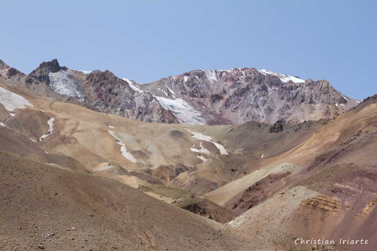
It is a volcano located in the north of the Argentinean province of Neuquén. Its altitude is 4707 metres above sea level, making it the highest peak in the province.It is situated within the Domuyo Natural Protected Area. There is a visitor centre with security and toilets, where those who make the ascent (which is compulsory with an authorised guide) or the path to the base of the volcano (confirm if it is possible to do it self-guided) are registered. It is worth mentioning that from this visitor centre you can only see a small portion of the snowy summit of Domuyo, since most of the volcano is covered by other hills. To see it properly you should at least do the trail that leads to its base.
Trail to the base of the Domuyo volcano:
- This is a medium-difficulty trail (only for people with good physical preparation), which can be done after signing up at the visitor centre (confirm if it can be done self-guided). It is worth mentioning that it may have some risky sections due to a landslide, in which case I recommend abandoning the trek if you cannot find a safe alternative section to follow. It takes about 5 hours round trip, and on the way up it is generally a moderate climb.
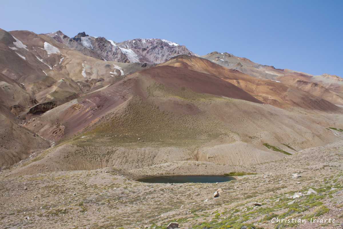
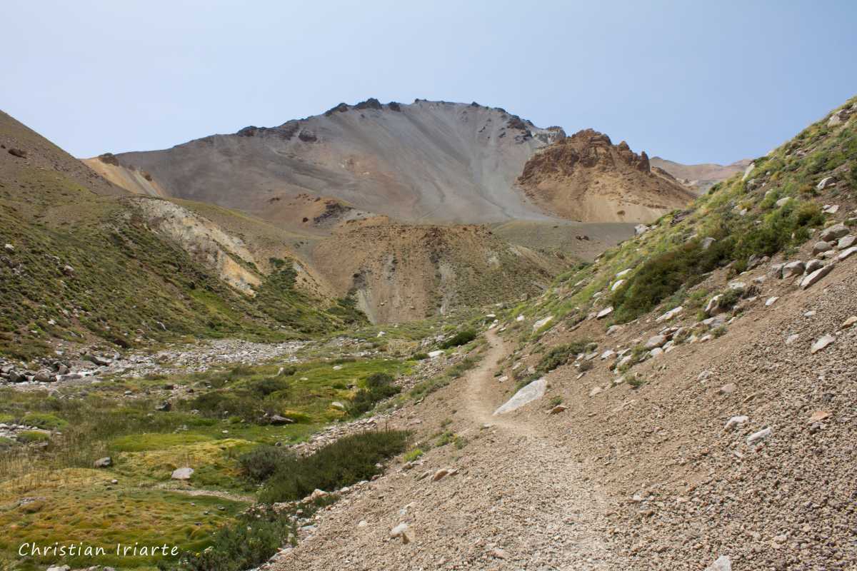
- The first part of the trail crosses a small bridge and follows a narrow path that parallels a short distance to a river. Then it becomes moderately steep, and after 2/3 of the way you start to see more and more of the Domuyo. You reach some body of water at the foot of the volcano, which is completely visible in this sector. Throughout the whole route you can observe many species of birds.