 view page of Entre Ríos
 share this post
IMPORTANT: Some data, image or video may be from 2020 or before.
Information
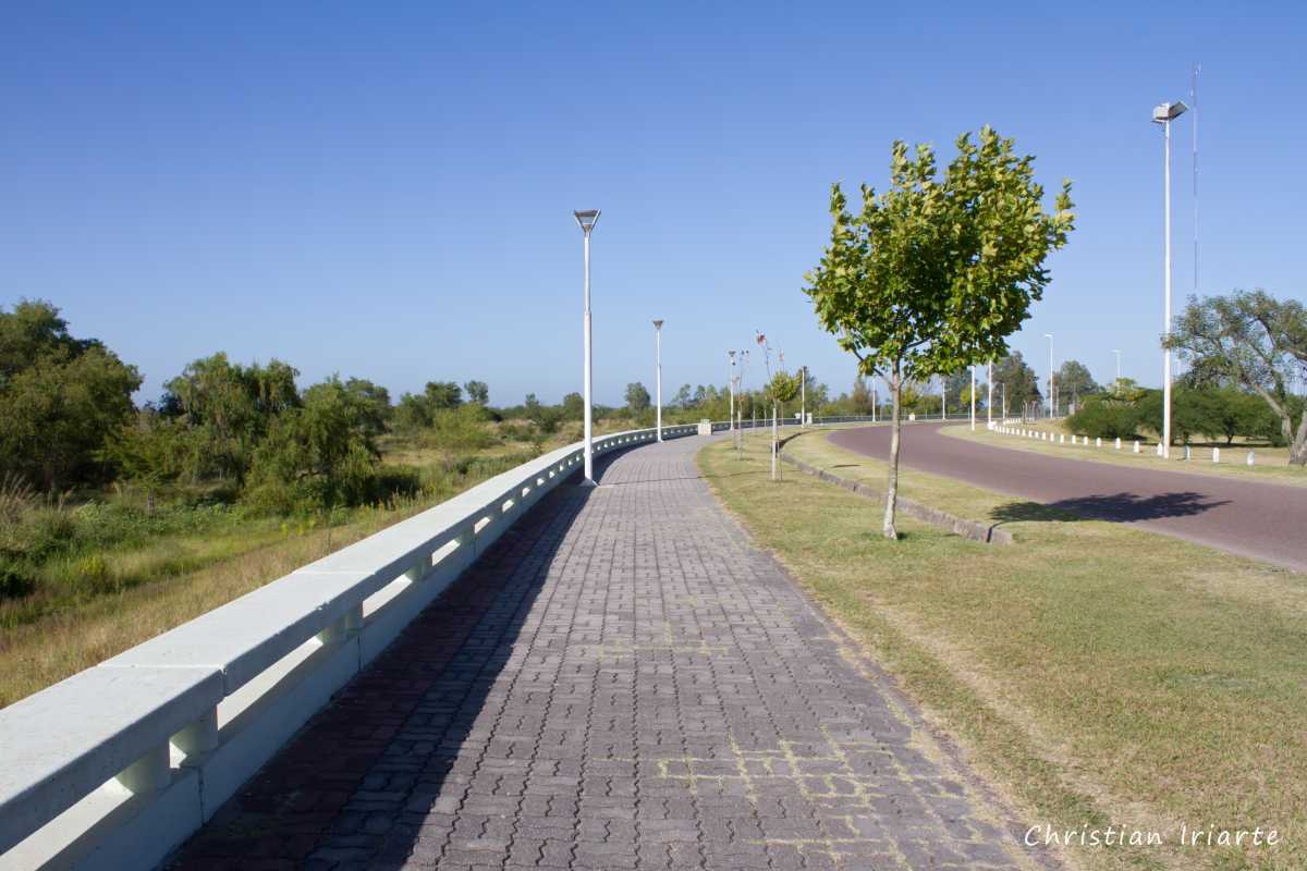
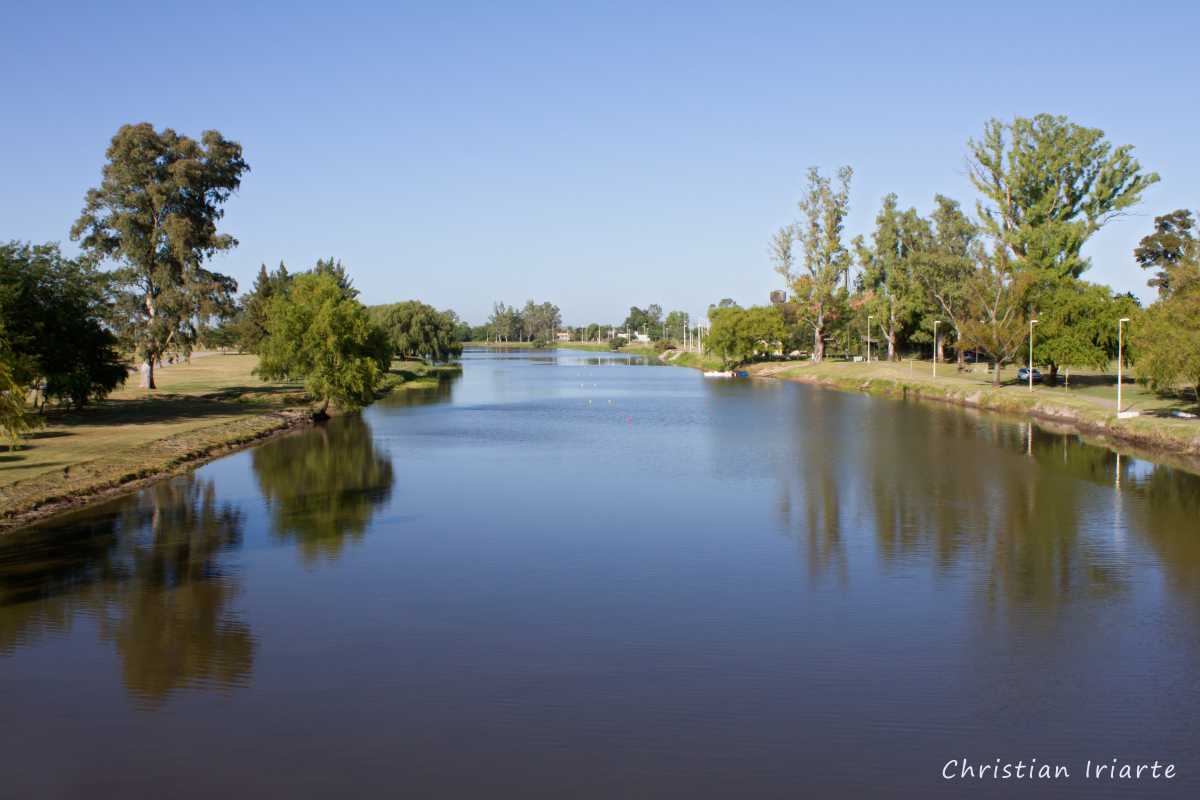
It is a city located in the south of Entre Ríos, next to the river that bears its name. It has a tourist information office, petrol station, shops, accommodation and restaurants. It is one of the cities where the carnival is celebrated (between January and March, where the exact dates may vary from one year to another).From the Tratado del Pilar Boulevard or from National Route 12 you can access the shore of the Gualeguay River, which is surrounded by green spaces with pedestrian paths ideal for picnics or walking.
To get to the city:
- By bus: it has a bus terminal with parking, tourist information office, toilets and cafeteria, where public transport arrives from the cities of Bella Vista, Buenos Aires, Colón, Concepción del Uruguay, Concordia, Esquina, Goya, Gualeguaychú, La Paz, Larroque, Paraná, San José and Victoria.
- By car: Provincial Route 11 connects it with Diamante, Paraná and Victoria. The provincial road 16 connects it with Gualeguaychú and from there to other localities of the Uruguay River shore. And National Route 12, which crosses the Zárate-Brazo Largo bridge to the south, allows you to get there from the city of Buenos Aires.