
 view more about El Chaltén
 view page of Santa Cruz
 share this post
IMPORTANT: Some data, image or video may be from 2018 or before.
Information
This is one of the classic trails in El Chaltén. On this route you will have great views of Mount Fitz Roy and the Capri high altitude 'laguna' (like a lake).It is recommended for people with a good physical condition, as it takes about 4 hours round trip to the Capri, and an important part of the outward journey is uphill. If you continue on to a camp called Poincenot, it is an additional 2 hours round trip (making El Chaltén-Poincenot 6 hours round trip).
My recommendation is to take the whole day, starting early in the morning. Bring water, warm clothes, a hat and something to eat, and be prepared with a raincoat in case the weather changes (it is frequent in the area).
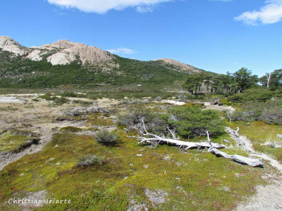
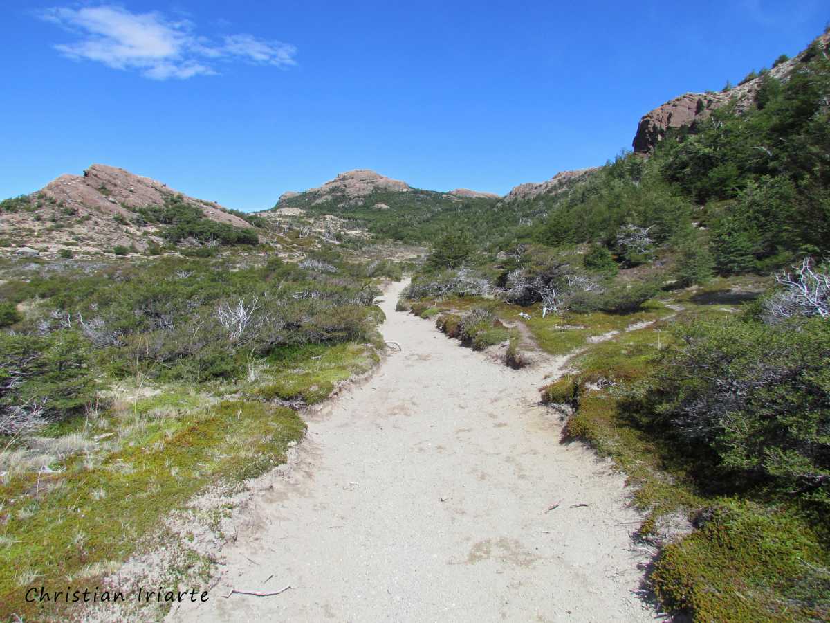
The trail starts at the end of San Martín Avenue, where the town ends and there is a car park for vehicles. The first section is very steep, mostly uphill until you reach the viewpoint of the Río de las Vueltas (which is the river that borders El Chaltén). Then the road becomes a bit flatter and splits in two:
- If you take the right, you pass a natural viewpoint of Mount Fitz Roy.
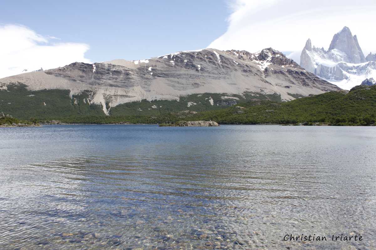
- If you take the left, you go to the Laguna Capri, a body of water with mountains in the background where the Fitz Roy appears on the right.
Further on both paths join, and from there you have a comfortable but long way to Poincenot. If you are going to spend the night at the campsite, you must go to the park ranger's office beforehand to let them know and ask if it is enabled. It is also important to bring a good coat and a waterproof tent for the night, as the temperature drops sharply when the sun goes down and the weather can change from one moment to the next.