Cuesta de Miranda



 view page of La Rioja
 share this post

Information
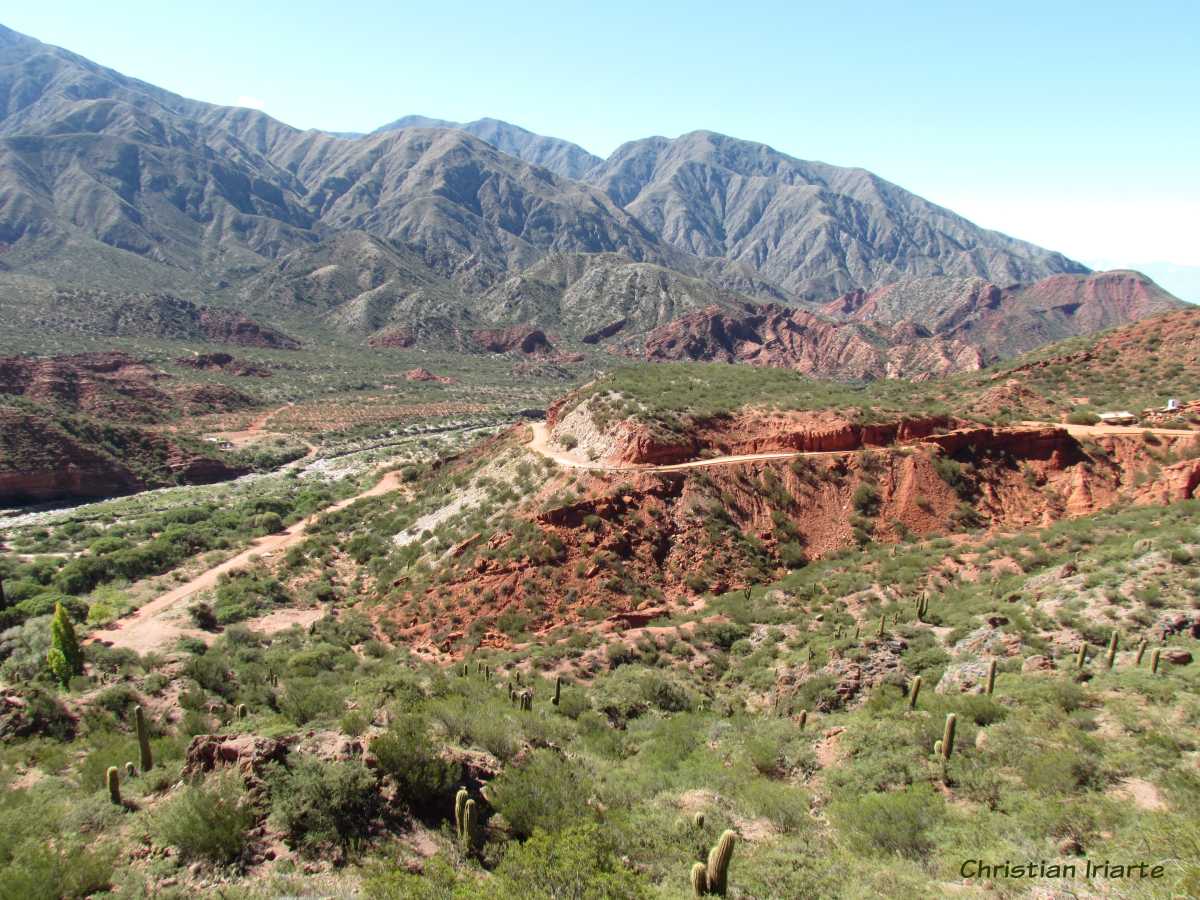
It is a section of National Route 40 that winds along a ravine crossed by the Miranda River, between Chilecito (more precisely Sañogasta) and Villa Unión. It is a proper slope, a mountain road (currently paved in its entirety) with parts of corniche, curves and counter-curves.Travelling along it is a striking trip where you can appreciate mountains with reddish tones due to the presence of iron oxide in their composition, which are combined with the green hues of the vegetation of that environment. At all times there is a great view of the river running below, and also of geological forms originated by the erosion of the wind on the mountains. At one point there is a viewpoint with a car park, and when you go to the highest point there are two signs that say 'Punto Alto' (High Point) that mark 2020 metres above sea level and 2040.50 metres above sea level respectively.
There is a historical site called Puente de la Pelea. It is a bridge over the Miranda River, and it is where the battle of the Quebrada de Miranda took place in 1867, in which the Federales commanded by Felipe Varela defeated the Unitarios Mitristas. Nowadays there is a camping site there.
The ideal time to do this walk is in autumn (March to May) and spring (September to November), since in winter there can be snowfalls and in summer there can be some heavy rains.