
 view more about Los Alerces National Park
 view page of Chubut
 share this post

Information
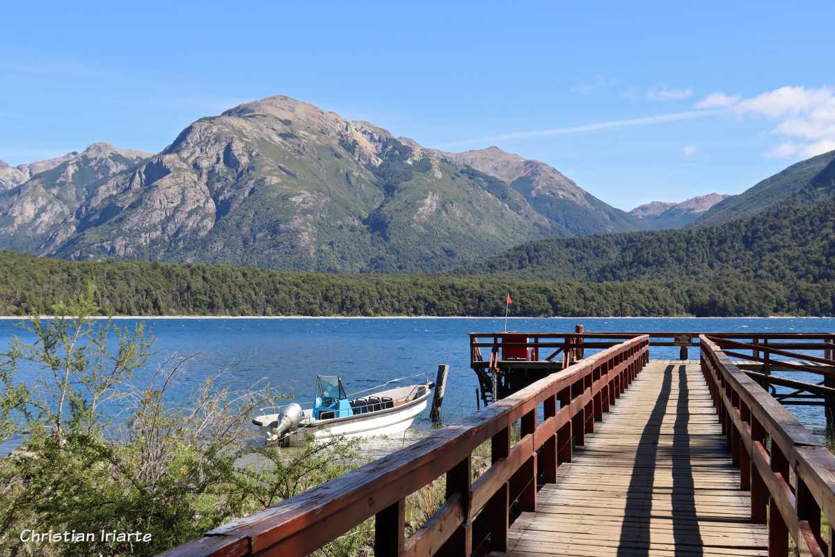
It is a lake in the province of Chubut, in the Argentine Patagonia. It has three arms that give it a Y-shape with the so-called Isla Grande (an island) in the centre. It is fed by water courses that flow down from glaciers in the mountains, and its effluent is the Menéndez River, which in turn flows into the Arrayanes River.It is located within the Los Alerces National Park, surrounded by mountains and forests. There are alerces, which is a tree of the cypress family that can reach great heights and last for many years, as for example a 2600 years old specimen that is located in the vicinity of this body of water.
The way to get to the lake is on foot. The classic circuit to get there is of medium difficulty and takes approximately 1.5 hours (one way). It starts at a car park on Provincial Route 71, from where a short trail leads to a bridge that crosses the Arrayanes River. After this footbridge there is a path to the left (called the Lahuán Solitario trail) which is mostly flat, running first parallel to the Arrayanes River and then to the Menéndez River. Along the way there are viewpoints to rest and see the scenery. You pass by where the Menéndez River starts at Lake Menéndez and then there is a place where you can go down to the shore of this lake. Further on you arrive at Puerto Chucao, where there is a dock where excursions depart for sailing and then make a walking tour through the Valdivian forest to reach the 2600 year old alerce (in any case, you should ask what is included in the excursion when you book it).