

 view page of Los Ríos
 share this post
Information
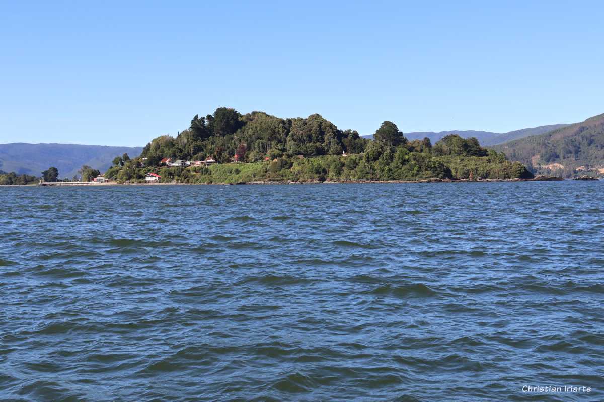
It is an island in the Los Ríos region of Chile, located at the mouth of the Tornagaleones River in the Valdivia River, before this river (Valdivia) in turn flows into the bay of Corral in the Pacific Ocean. It faces the town of Niebla to the north (separated by 1 km) and Corral to the west (separated by about 2.5 km).To get to Mancera Island, boats leave from the Niebla jetty a few times a day (always check return times) and drop off at the Mancera passenger pier.
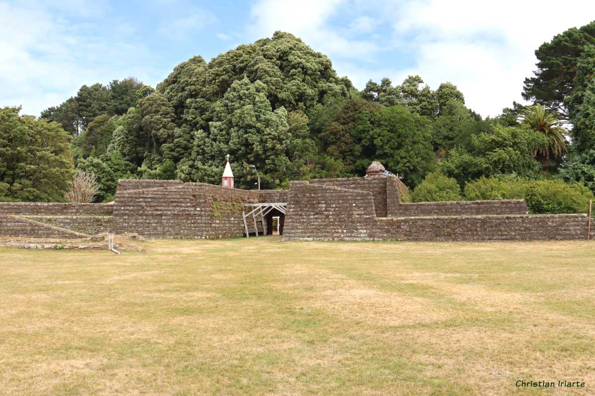
The island is a popular tourist destination. On the one hand, there is a circular road that allows you to walk around its perimeter (although in its southern section it does not border the island) in its entirety. There are beaches in some areas. A must-see attraction is the Castle of San Pedro de Alcántara, which dates back to the 17th century, and was the first fortification to be built of the so-called Valdivia system of forts erected by the Spaniards to protect themselves mainly from pirate attacks.