Cuesta del Obispo



 view page of Salta
 share this post
Information
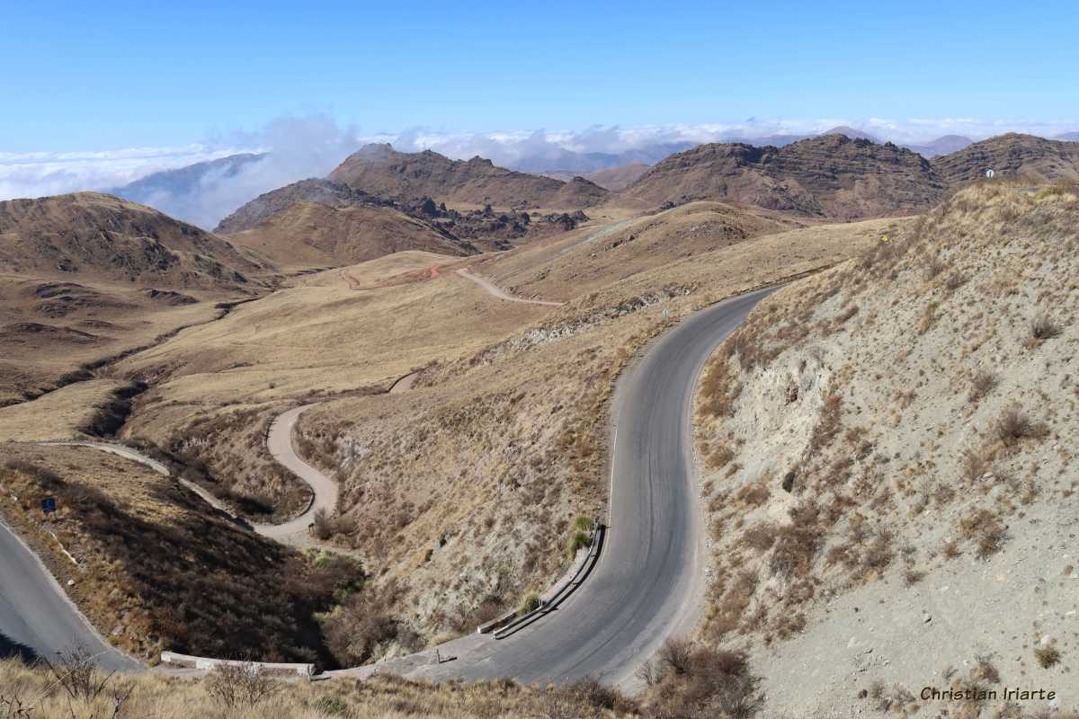
This is a 20 km long stretch of Provincial Route 33 in the Argentinean province of Salta, which connects the Los Cardones National Park to the west with the Lerma Valley to the east. Only a part of the road is asphalted, and most of it is already consolidated gravel.The outstanding feature is that there is a difference in altitude of just over 1000 metres between the two extremes. The slope starts at a place called Piedra del Molino at 3457 metres above sea level, which is the name of a rock that in the past a lieutenant used to take to the city of Salta and left it there because the cart he used as a means of transport broke down. There is also a chapel there. From there the road descends along a winding mountainous route, at times steep and corniche-like. At the top there is a viewpoint with panoramic views of the landscape, where you can usually see clouds covering part of the mountains. The slope descends to 2400 metres above sea level, at what is considered the end of the Obispo slope. Then the route continues along the Quebrada de Escoipe (a ravine) and ends at the town of El Carril in the Lerma Valley.
