 view more about Puerto Madryn
 view page of Chubut
 share this post
IMPORTANT: Some data, image or video may be from 2013 or before.
Information
It is a protected coastal area located on the outskirts of the city of Puerto Madryn. It preserves both the terrestrial steppe and the marine area.To get there, from Puerto Madryn you take Domec García Norte Avenue, heading north. When you cross Paso de los Libres Street, the avenue is renamed Kenneth Woodley, and from here it is about 3 kilometres. You get to a roundabout where you turn right. This is Provincial Route 42 that runs through El Doradillo, where the first beach called Manara is 6.5 km away.
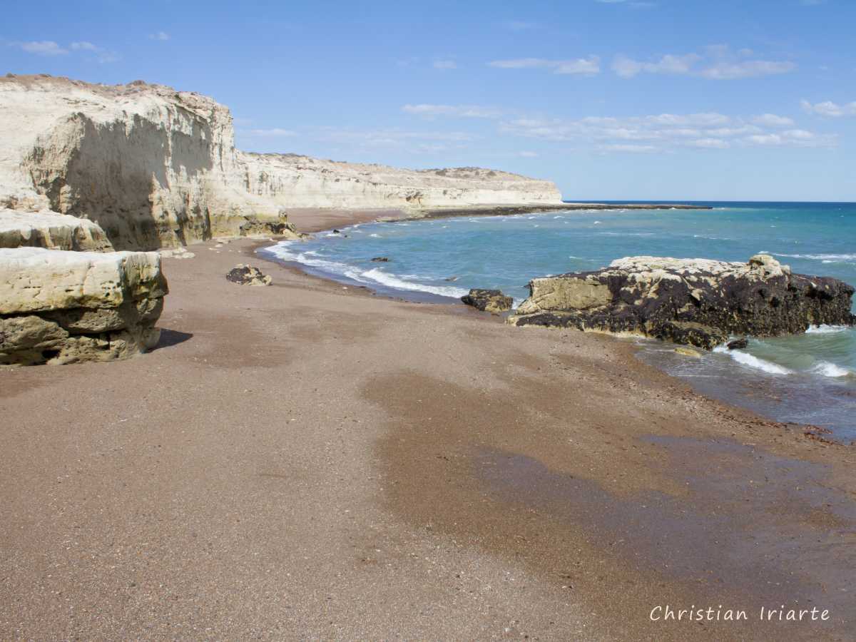
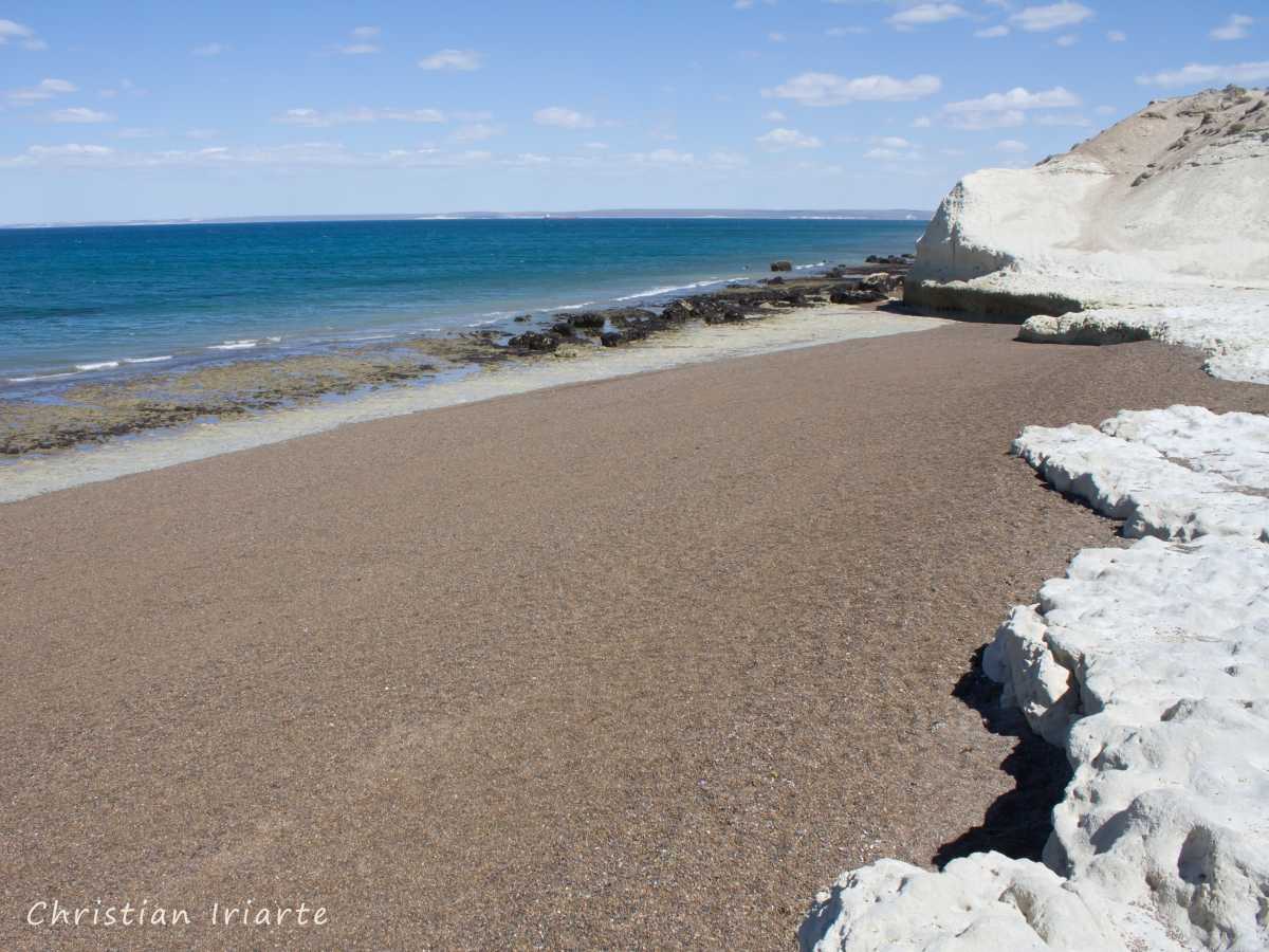
El Doradillo has a totally natural landscape. My recommendation is to take at least half a day to visit it and get to know its tourist attractions. The route that leads to the protected area follows parallel to the coast and has many descents to different beaches such as Playa Manara (Manara Beach), Playa El Doradillo (El Doradillo Beach) and Playa Bañuls (Bañuls Beach). Along the route there are several viewpoints and panoramic views.
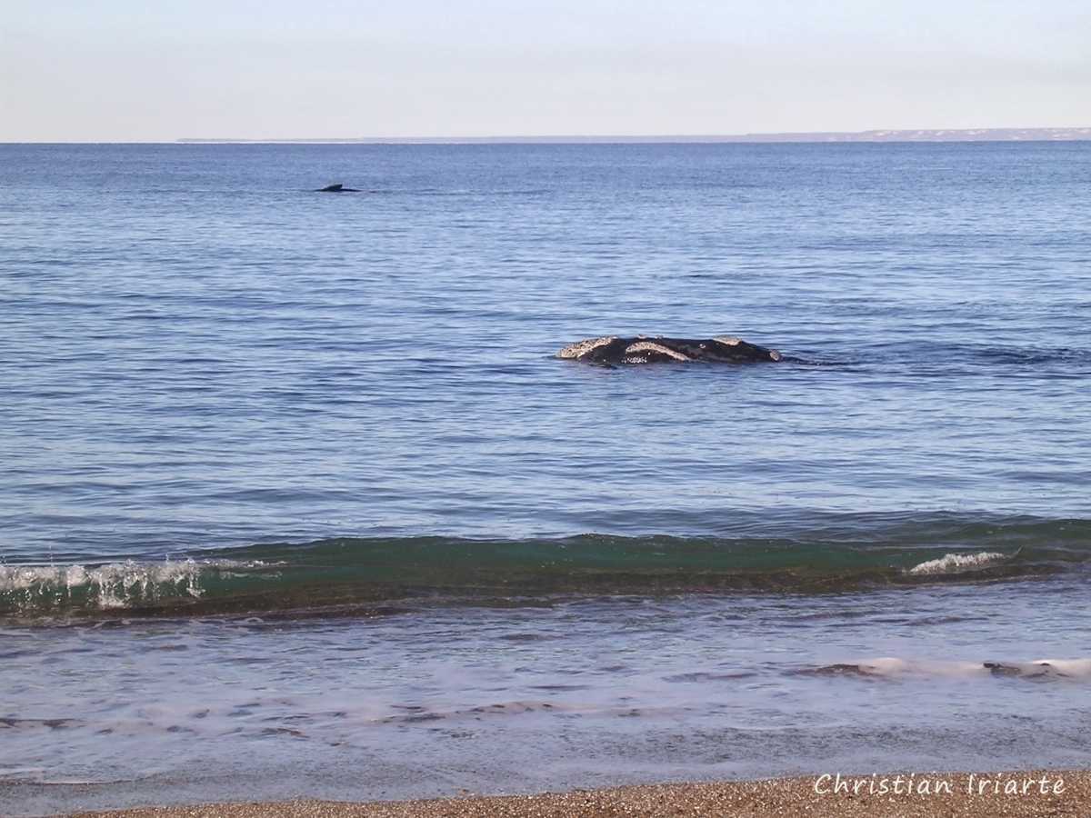
This is the place par excellence to see the southern right whale (Eubalaena australis) from the beach between June and October. It is sometimes surprising how close to the shore they can be seen. There is also the option of seeing them from above from an observatory and/or its viewpoint called Punta Flecha (a point, Flecha Point).
Its coastal steppe is home to many species of wildlife. It is common to see birds such as the elegant crested tinamou (Eudromia elegans), mourning sierra-finch (Rhopospina fruticeti) and pallid tit-spinetail (Leptasthenura pallida).