


 view more about San Rafael
 view page of Mendoza
 share this post

IMPORTANT: Some information, images or videos may date from a visit made in 2012 or earlier.
Information
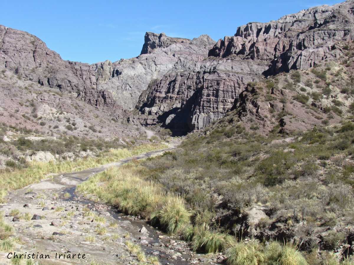
The Atuel Canyon is located in the south of Mendoza Province along the Atuel River, and is more than 30 km long. It stretches roughly between the El Nihuil Dam and the Valle Grande Reservoir, through a dry and mountainous landscape shaped over thousands or even millions of years by the action of water and wind.It can be explored by car along Provincial Route 173, which follows the river closely for much of the way and in some sections runs almost parallel to it. It is a drive to take your time with and without rushing, as there are different viewpoints, geological formations and changes in the landscape along the way. Before setting out, it is advisable to check the condition of the road and make sure you have enough petrol, water and everything you need to spend several hours on the road.
The landscape is the result of a long process of erosion, mainly caused by the Atuel River and complemented by the action of the wind. The rock formations have very striking shapes, and over time they have been given names based on their appearance and the figures they seem to represent such as Museo de Cera (Wax Museum), Jardines Colgantes (Hanging Gardens), Los Alfajores and others.
The Atuel River is also the setting for various adventure tourism activities. Its waters are used for rafting, which has become one of the classic activities for visitors to the region. There are numerous agencies and tourism operators in San Rafael that offer this activity.
To get there from downtown San Rafael, take Ingeniero Julio Balloffet Avenue south for about 6 km. At that point the road curves to the left, and approximately 400 meters later Provincial Route 173 branches off to the right. From there, it is about 52 km along this route to reach the beginning of the canyon.