


 view more about Laguna del Diamante
 view page of Mendoza
 share this post

IMPORTANT: Some information, images or videos may date from a visit made in 2020 or earlier.
Information
When visiting the Laguna del Diamante Nature Reserve, you have to walk 61 km from the entrance of the protected area to the laguna del Diamante. But this route can be taken as a tourist trip, since you can appreciate a spectacular mountain range landscape with pampas, rivers, viewpoints, etc.Taking as kilometre 0 (zero) the beginning of this route we will have:
- Kilometre 18.5: there is the entrance post to the protected area, where it is compulsory to register and pay an entrance ticket. The park rangers give instructions and information, and there are toilets on site. At one side there is a trail called 'Botánico' (Botanical) of low difficulty and a total duration of 30 minutes.
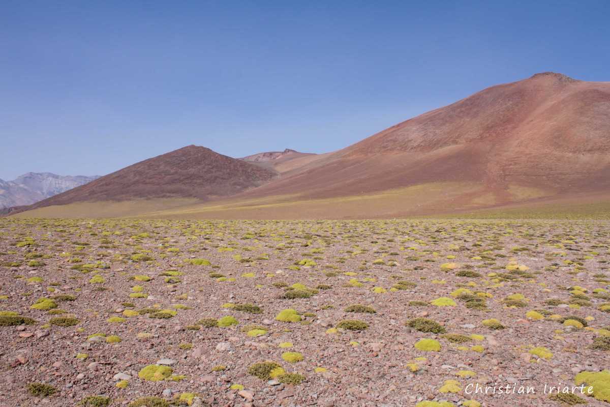
- Kilometre 34: the Pampa de los Avestruces begins at an altitude of 3500 metres above sea level.
- At km 37 there is a viewpoint.
- At km 40 you can see geological forms in giant rocks.
- Km 45: you cross the El Yaucha Stream at about 3200m above sea level, in an area of wetlands where you can see many species of birds.
- Km 52: the Pampa de los Paramillos begins at 3750 metres above sea level, the highest sector to be traversed.
- Km 55.5: the Paramillos Stream is skirted, which will later flow into the laguna del Diamante.
- Km 59: there is a park ranger station. From here a secondary vehicular road of 2.5 km opens up to a viewpoint of the laguna del Diamante, which has a pedestrian path to reach the shore.
- Km 61.5: it skirts the Laguna Barrosa.
- Km 65: a path opens up on the left that runs parallel to the Diamante River that starts right there. It is an excellent route to see aquatic birds.
- Km 65.5: there is a gendarmerie post and toilets. About 500 metres further on there is a camping and picnic area on the shores of the Laguna del Diamante.

