

 view more about Nahuel Huapi National Park
 view page of Río Negro
 share this post
IMPORTANT: Some data, image or video may be from 2020 or before.
Information
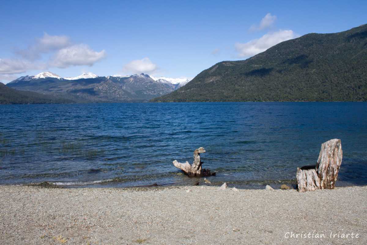
It is a large lake located in the Nahuel Huapi National Park. It has the shape of an italic 'v', due to its two arms that compose it, called Brazo Catedral (Catedral arm) the one located to the east and Brazo Tronador (Tronador arm) the one located to the west.Mascardi can be reached by the paved National Route 40, which is 22 km from San Carlos de Bariloche (4 km along Route 258 and 18 km along Route 40) and 86 km from El Bolsón.
The national road 40 borders the Catedral arm of the lake for a stretch of 8 or 9 km where there are a couple of public descents with a beach. Then, from National Route 40, the gravel Provincial Route 81 starts, which also runs parallel to the lake but to the south, and we have the following:
- At about 500 metres there is a park ranger station where the entrance fee to the national park is charged.
- Sendero Laguna Juventus (a trail): this is the path that opens up to the left at kilometre 1 of Route 81. It is about 700 metres long one way and is of medium difficulty, with a steep section.
- Playa Negra (Black Beach): it is at 5.5 kilometres. It is almost on the road that borders the lake.
- At kilometre 9 the route divides in two: the road on the left is the one that leads to the Cascada de los Alerces (a waterfall), and the one on the right crosses the bridge to take you to Ventisquero Negro and Cerro Tronador. It must be taken into account that both roads have defined schedules to go and defined schedules to return.
