
 view more about Nahuel Huapi National Park
 view page of Río Negro
 share this post
IMPORTANT: Some data, image or video may be from 2020 or before.
Information
It is a gravel road in the Nahuel Huapi National Park, which at its beginning borders the Tronador arm of Lake Mascardi and at its end reaches tourist attractions such as the Ventisquero Negro and the Cerro Tronador (a hill).This road starts at kilometre 9 of Provincial Route 81 (which leaves National Route 40 when it passes by Lake Mascardi), right where it splits in two. The road to Cerro Tronador is the one on the right, which immediately crosses the bridge over the Manso River.
IMPORTANT: This route has a set timetable for the outward journey and a different timetable for the return. It is advisable to call or go to a National Park or official tourism office to find out the exact times.
Taking the bridge as kilometre 0 (zero) we have:
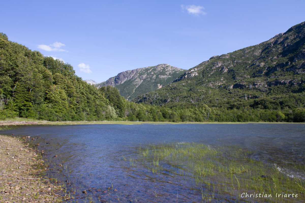
- Sendero Lago Los Moscos (Lake Los Moscos trail): it starts just after the bridge, on the left hand side of the road. It is of low difficulty and takes approximately 1 hour to complete. Be careful to always follow the main path. It goes through a gallery forest and passes along the shore of Lake Los Moscos.
- The first 15 km of the road runs parallel to the Tronador arm of the Mascardi.
- At kilometre 7 is the mirador Lago Mascardi (a viewpoint). From there you can see the Piuqué Huapi Island or Corzaón Island, which is the largest island of the lake and has a heart shape that was given by a glacier that advanced and carved it in an asymmetrical way.
- Pampa Linda: it is located at km 29.5, where you pass through and can access the banks of the Manso River. There is a park ranger office, as well as a restaurant and camping site.
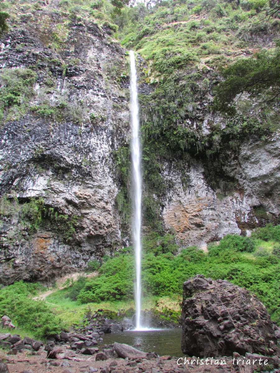
- Sendero Saltillo de las Nalcas (a trail): the start is at km 30.5. It is of low difficulty, with little slope and takes 1 hour round trip. On the way you pass through forest and open areas, along the banks of the Manso River and you can see the Cerro Los Emparedados (a hill). You will reach a large waterfall of about 40 metres. The Spanish name of the trail comes from a native herbaceous plant called 'nalca', with large leaves, which can be seen on the walk.
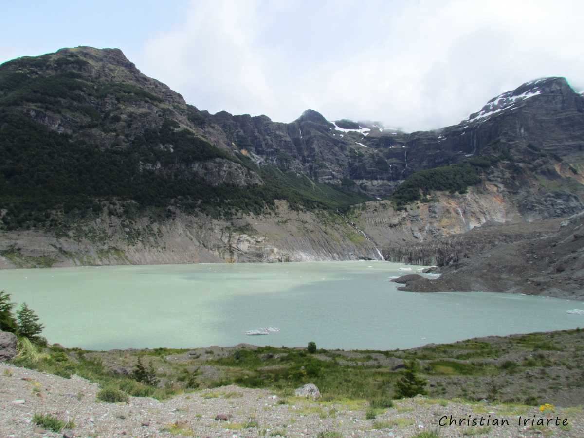
- Ventisquero Negro: at km 36 there is a car park, and at about 500 metres there is a balcony where you can see Lake Manso with the Ventisquero Negro glacier. Its dark colour is due to layers of material coming from a volcano that are mixed with ice and snow.
- At km 37 is the base of Cerro Tronador (a mountain). There you will find a grocery store, parking, toilets, chairs and tables.
- Sendero Garganta del Diablo (a trail): the access to the trail is also at km 37. It takes about 30 minutes one way. The first stretch to the river is flat and easy, but then it is a steep climb. You get to a place where you can see a waterfall from a distance, as you are not allowed to get to the waterfall pot.