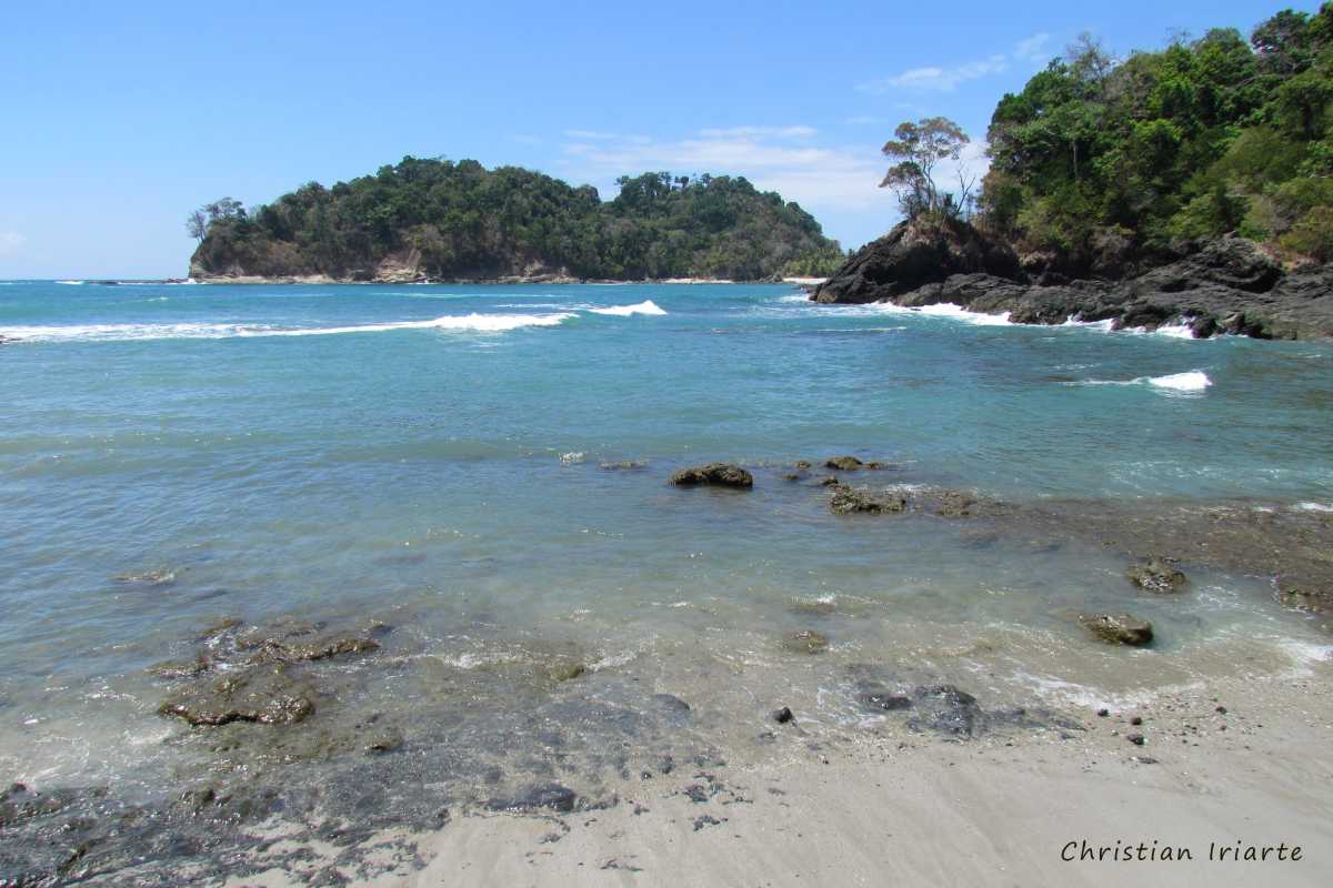

 view more about Manuel Antonio National Park
 view page of Puntarenas
 share this post
IMPORTANT: Some data, image or video may be from 2016 or before.

Information
Manuel Antonio National Park has a good system of trails that allows you to walk through the park and access its different attractions.Upon entering the park, a main vehicular road begins, which has parallel trails or those that open to its sides:
a) El Manglar Trail: begins near the park entrance, and consists of footbridges above the ground, with lookouts and benches. It is about 750 meters long and is of low difficulty. In the first section it runs parallel to the vehicular road and at one point turns right to pass through a mangrove swamp. It ends at the wide Espadilla Sur beach, which is located in a bay and has a path parallel to the coast.
b) La Catarata Trail: it opens from the main road and the El Manglar trail after walking about 200 meters. It has a length of about 700 meters, and is of medium difficulty for people in good physical condition. It leads to a wooden lookout, where you can see a seasonal waterfall that depending on the time of year may be dry or on the contrary you can see the waterfall.
c) Perezoso Trail: it opens from the main road and the El Manglar trail after about 650 meters. It has a length of 550 meters and is of low difficulty. It runs parallel to the vehicular road and has wooden walkways. It goes through the forest where sloths are often observed through the trees.
At the end of the vehicular road and the Perezoso trail, you will reach a fork that allows you to follow more trails. Depending on whether you go to the right or left you have:
a) Playa Manuel Antonio Trail: opens to the right at the fork. It is of low difficulty, runs parallel to the excellent Manuel Antonio beach, which is very crowded and suitable for swimming and snorkeling. After about 500 or 600 meters, it joins the trail that comes from Espadilla Sur beach and enters what is called Catedral point, which was an ancient island that was joined to the coast by a strip of sand called “tombolo” to form the peninsula you see today. There is a path of moderate difficulty called Punta Catedral, which has several viewpoints from where you can see islands and beaches.
b) If you turn left at the fork, there is a path that divides in two again after 150 or 200 meters:
- Taking to the right leaves the Playa Gemelas Trail, which allows access to a less crowded beach. The path continues as the Mirador Puerto Escondido trail of medium difficulty (recommended for those in good physical condition) that leads to a viewpoint.
- To the left is the Miradores Trail, which is about 750 meters long. It is a trail of medium difficulty (for people in good physical condition) with stairs, explanatory signs and viewpoints.