


 view page of Tucumán
 share this post
Information
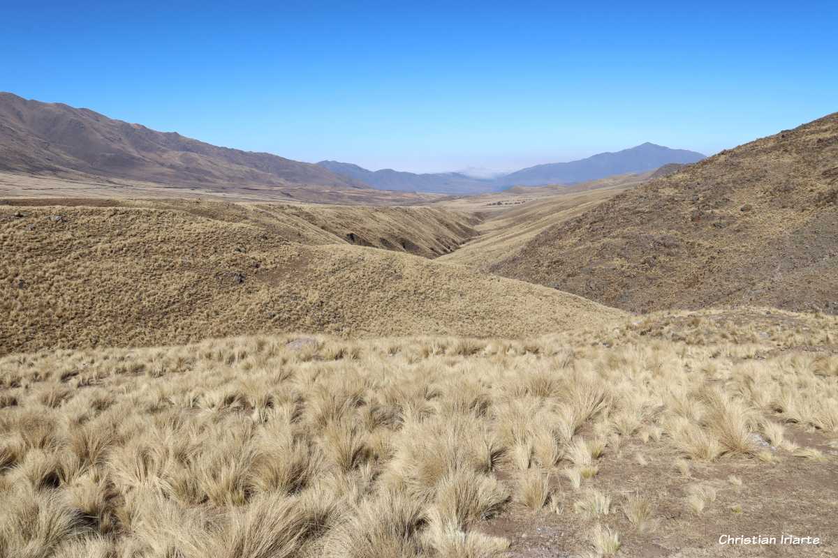
It is a pass between mountains located at 3042 metres above sea level, between the Cumbres Calchaquíes and the Sierras del Aconquija. It is crossed by the Provincial Route 307 that links the Tafi Valley (which is to the southeast) with the Valles Calchaquíes (Calchaquí Valley, which is to the northwest), with the tourist towns of Tafi del Valle on one side and Amaicha del Valle on the other side.From a touristic point of view, crossing El Infiernillo is a real sightseeing trip because of the spectacular landscapes. It should be taken into account that it should be done with time, since it is a long route that should be driven at low speed due to its uphill, downhill and corniche sections. It has a viewpoint with a signpost, a place to park and stalls to buy food and handicrafts, from where you can get good panoramic photos.
For birdwatchers, it is a place of special interest because you can find species that are very difficult to observe in other places, such as the streak-fronted thornbird (Phacellodomus striaticeps), the scribble-tailed canastero (Asthenes maculicauda) and the streak-backed canastero (Asthenes wyatti).