 view page of Río Negro
 share this post
IMPORTANT: Some data, image or video may be from 2012 or before.
Information
It is a small town located on the coast of the bay of San Antonio. It has a tourist information office, some accommodation and very basic services. When I was there I couldn't find a petrol station, so it's a good idea to fill up beforehand from wherever you're coming from.It is surprising for its excellent beaches:
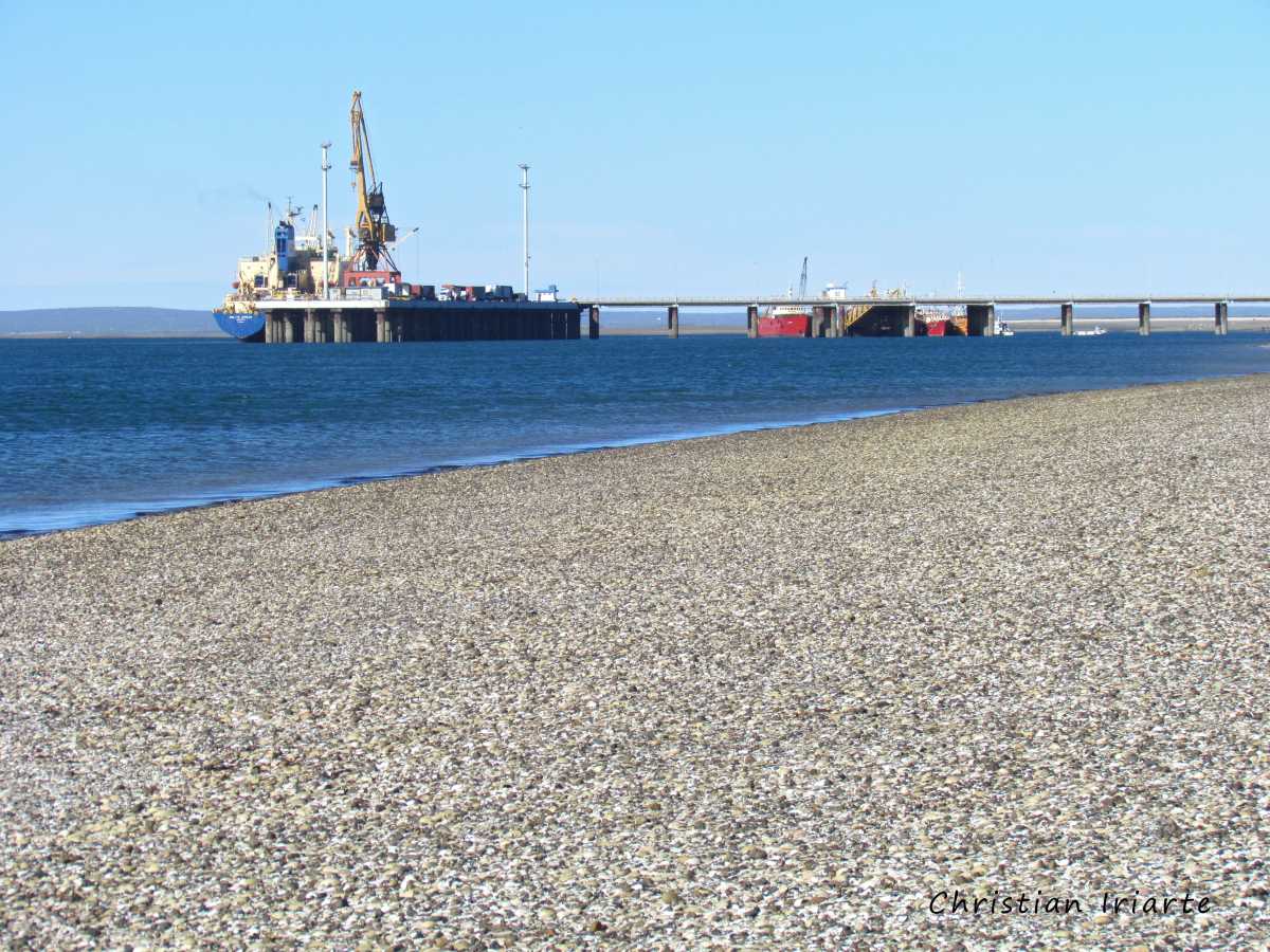
- There is a harbour about 500 metres from the town, on the coast.
- On the coast, from the extremes called Punta Perdices (Perdices Point, towards the east) to Punta Villarino (Villarino Point, towards the west) there are about 4 or 5 km of beaches to walk along. On clear days you can see the opposite shore, which is on the other side of San Antonio Bay.
- If you walk along the beach for about 2 km towards Villarino Point (in a westerly direction), you will arrive at a 'lobería'. The area is protected by park rangers, and from a distance you can see South American sea lions (Otaria flavescens). From there, about 500 metres to the southeast there is a metal lighthouse.
How to get to San Antonio Este:
- If you are coming from Las Grutas, from San Antonio Oeste you take National Route 3 and after about 27 km a road opens up towards the south. You take this road, which after 13 km opens in two: to the east (left) you have Ruta de los Acantilados (Acantilados Route), which leads to El Cóndor, and to the west (right) you go towards San Antonio Este. From there it is 16 km to the village.
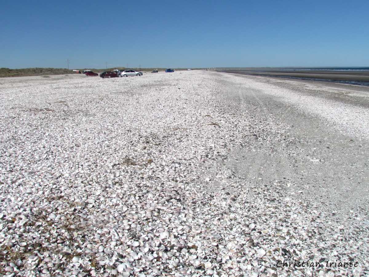
- In the last kilometres of the route before arriving to San Antonio Este you go along the coast, with several descents to the sea. You pass by Playa Las Conchillas (Las Conchillas Beach), which, as its Spanish name 'conchillas' suggests, is a beach completely covered with mollusc shells.