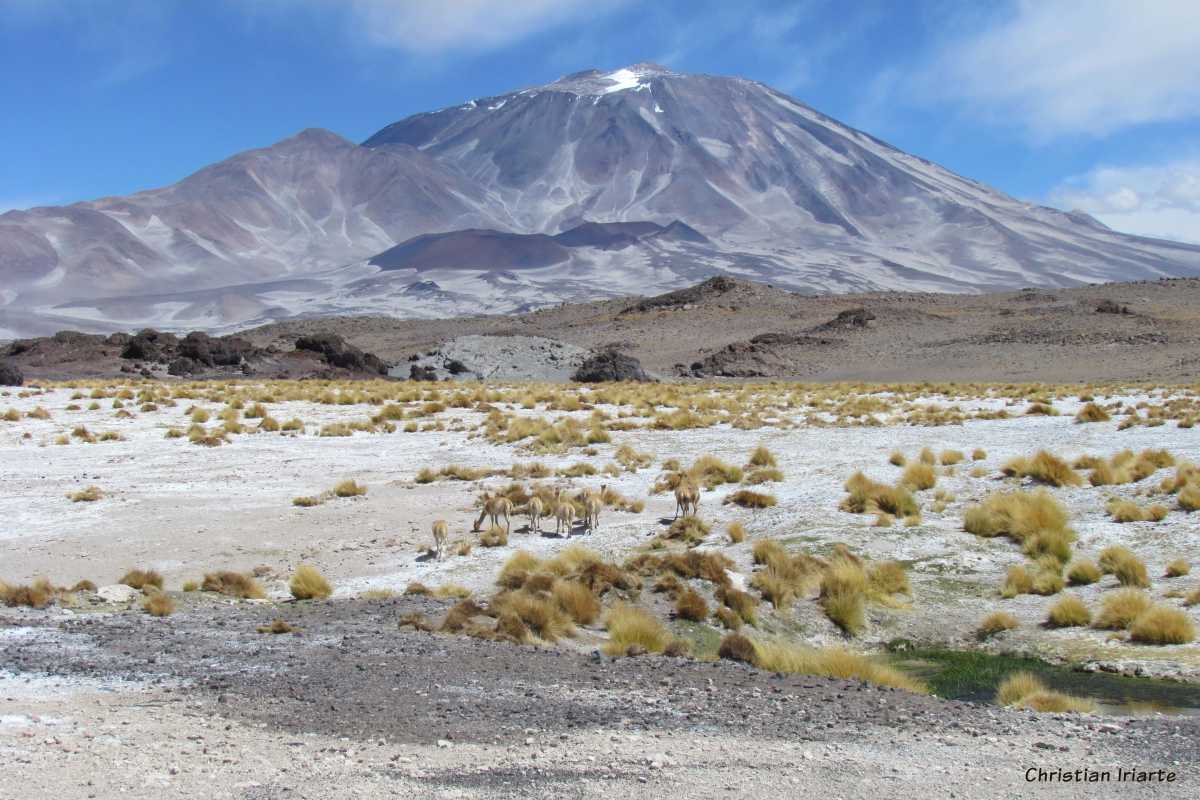
Incahuasi Volcano



Published in Travel
Last updated: 08-16-2026
 view more about Seismiles Route
 share this post
IMPORTANT: Some data, image or video may be from 2016 or before.
Information
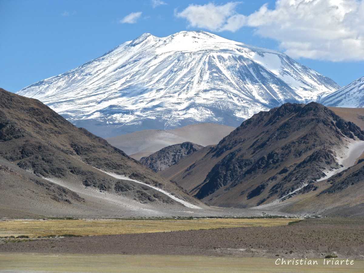
It is a volcano 6640 meters above sea level (the exact elevation may vary depending on the source), which forms part of the international border between Argentina (through the province of Catamarca) and Chile (through the region of Atacama). It is located very close to and south of the San Francisco International Pass, where another one of the six-thousanders San Francisco volcano lies between the two. It is in the middle of a completely uninhabited natural area.It can be seen when traveling along the so-called "Ruta de los Seismiles" ("Route of the Six-thousanders"), more precisely along some sections of National Route 60 in Argentina through the province of Catamarca. In fact, it is one of the peaks that can be seen most often from different areas and angles, as its silhouette is unmistakable:
— Coming from Fiambalá: after passing the refuge and the Las Peladas area, there are good views of Incahuasi from a distance.
— At the Las Grutas post: if you look along the road toward the border crossing, you can see Incahuasi volcano on the left and San Francisco volcano on the right, together.
— About 400 meters from Las Grutas: a dirt road leads to some hot springs (notify the Las Grutas post beforehand and bring a GPS with pre-loaded maps, and be careful not to get lost as there are several forks). This road leads to an area that is almost at the foot of Incahuasi and San Francisco volcanoes.