
 view more about Llao Llao Municipal Park
 view page of Río Negro
 share this post
IMPORTANT: Some data, image or video may be from 2020 or before.
Information
The Llao Llao Municipal Park is an excellent place for trekking activities of low to medium difficulty. It has many trails that can be accessed directly from the paved Provincial Route 77 that crosses the park (also known as 'Circuito Chico'), where there are signs indicating the beginning of each trail.Along Route 77, taking as kilometre 0 (zero) the beginning of the park, the trails (in Spanish 'senderos') that can be followed are:
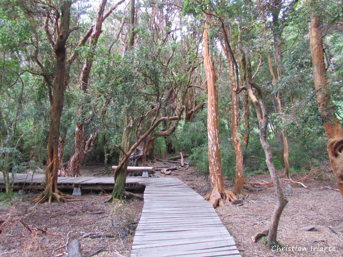
1. Sendero de los Arrayanes: its access is right by the entrance of the park. It takes about 2 hours round trip. It is of low difficulty, generally flat with some uphill or downhill but not very complicated. During the route there is first a small forest of arrayanes (trees with reddish trunks and branches) with some footbridges. Further on there is a descent to the shore of Lake Perito Moreno, then a viewpoint of the lake and then a picnic area on the shore of the lake.
2. Senderos Cerro Llao Llao y Playa Tacul (trails to a hill and a beach):
- The access is 400 metres from the beginning of the park. At the beginning both trails coincide, it is only one. This section takes about 20 minutes, is flat and of low difficulty. At one point they divide, the path on the left goes to Cerro Llao Llao (a hill) and the one on the right goes to Playa Tacul (a beach).
- The left fork to the hill takes about 40 minutes one way. It is totally uphill (good physical condition is required) and you will reach some rocks with a view of the lake.
- The path on the right that goes to Tacul takes 30 minutes. It has a downhill section (which you then have to climb when you return), but it is not very steep. The beaches are separated from each other, each with its own path to enter.
- The beaches of Tacul can also be reached by a vehicular road, which ends where there are small paths to the beaches.
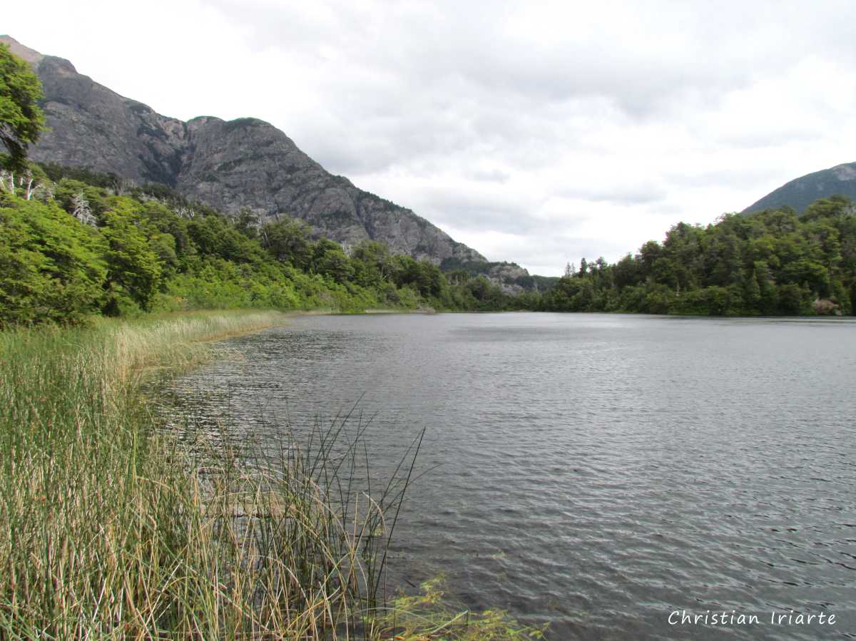
3. Senderos Puente Romano y Lago Escondido (trails to a bridge and a lake): can be taken as two trails or as one, as one continues on the other. It is of low difficulty. There are several access points to these trails from Route 77, so it can take 1 or 2 hours round trip depending on where you start from. You can see the Puente Romano (a Roman bridge) and Lake Escondido from a pier.
4. Sendero Bahía de los Troncos: its access is at kilometre 4.5. It is an easy path, with a length of 200 metres and no gradient. It leads to a beach full of pieces of logs in the sand, located in a bay.
5. Sendero Brazo Tristeza: it starts in López Bay (km 6.3). It is of low difficulty and takes about 40 minutes one way. You walk along a rocky path until you reach natural viewpoints with views of López Bay, the Tristeza Arm and the hills surrounding the lake.
6. Sendero Arroyo Lopez: it is 8.4 kilometres away from the entrance of the park. It is a medium to high difficulty trail for people in good physical condition. In its first stretch, it goes along the banks of the Lopez Stream, and finally leads to a refuge.