An overview of what you can see and do along the route.
This circuit includes the tourist attractions and localities placed on the Uruguay River and its surroundings. It covers part of the eastern part of the provinces of Corrientes and Entre Ríos.
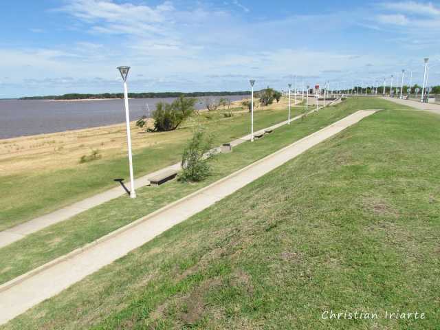
A characteristic of the Uruguay River (and also of its reservoir Salto Grande) is that its waters are normally calm and limpid. Even in many areas of Colón and Concepción del Uruguay the river has a sandy bottom, and for this reason you can see beaches with even clearer water. Obviously we are referring to when the river is in its normal situation, and not in times of floods when any river becomes muddy.
There are several attractions to visit:
- There are the beaches of Colón, Concepción, Concordia, Gualeguaychú, Monte Caseros and San José. Many of these sites are on the shore of the Uruguay River, although there are also some on other nearby streams and rivers (such as the Gualeguaychú River).
- The ports of Colón and Concepción offer boat or catamaran trips to nearby islands and sandbanks.
- At the Salto Grande dam there are beaches on the shores of the reservoir, accessible from Concordia and Federación.
- The El Palmar National Park and the San José Palace are not to be missed.
Interestingly, in the summer season (December to March) the water in the river is usually warm rather than cold. But bear in mind that both in summer and on long weekends, there are usually a lot of tourists arriving and it can happen that the hotel capacity of several localities is overflowing.
A piece of advice for those who go exclusively to the beach is to check the height of the river before travelling, since if the Uruguay River rises a lot, it may happen that the beaches are under water. This can be consulted on the web page of Prefectura Naval Argentina, in the section 'Altura de los ríos' ('Height of the rivers'), where the measurements of each river in each locality are given.